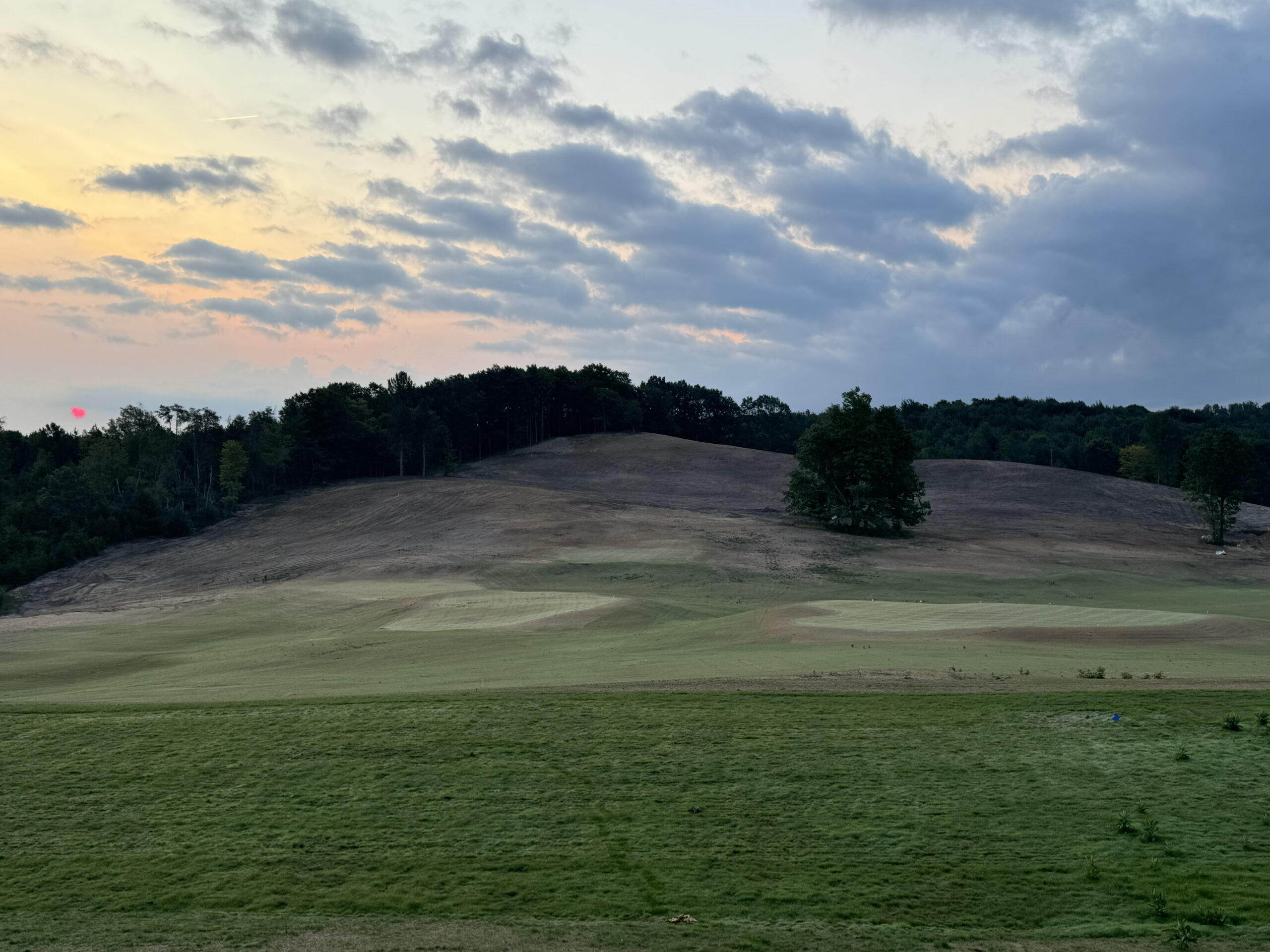
Tee it up!
Geospatial Consulting
Digital Topographic Mapping

So you are going to build or renovate a golf course – what could possibly go wrong?
- Overspending on unexpected drainage issues.
- Lack of unity and variety of the route planning.
- Going over budget due to unexpected obstacles.
- Unnecessary travel expenses.

The site plays a critical role in the success of golf architecture.
Golf course architecture is a true art form, requiring immense creativity and skill to create a well-designed course that challenges players of all levels and enhances their overall golfing experience.
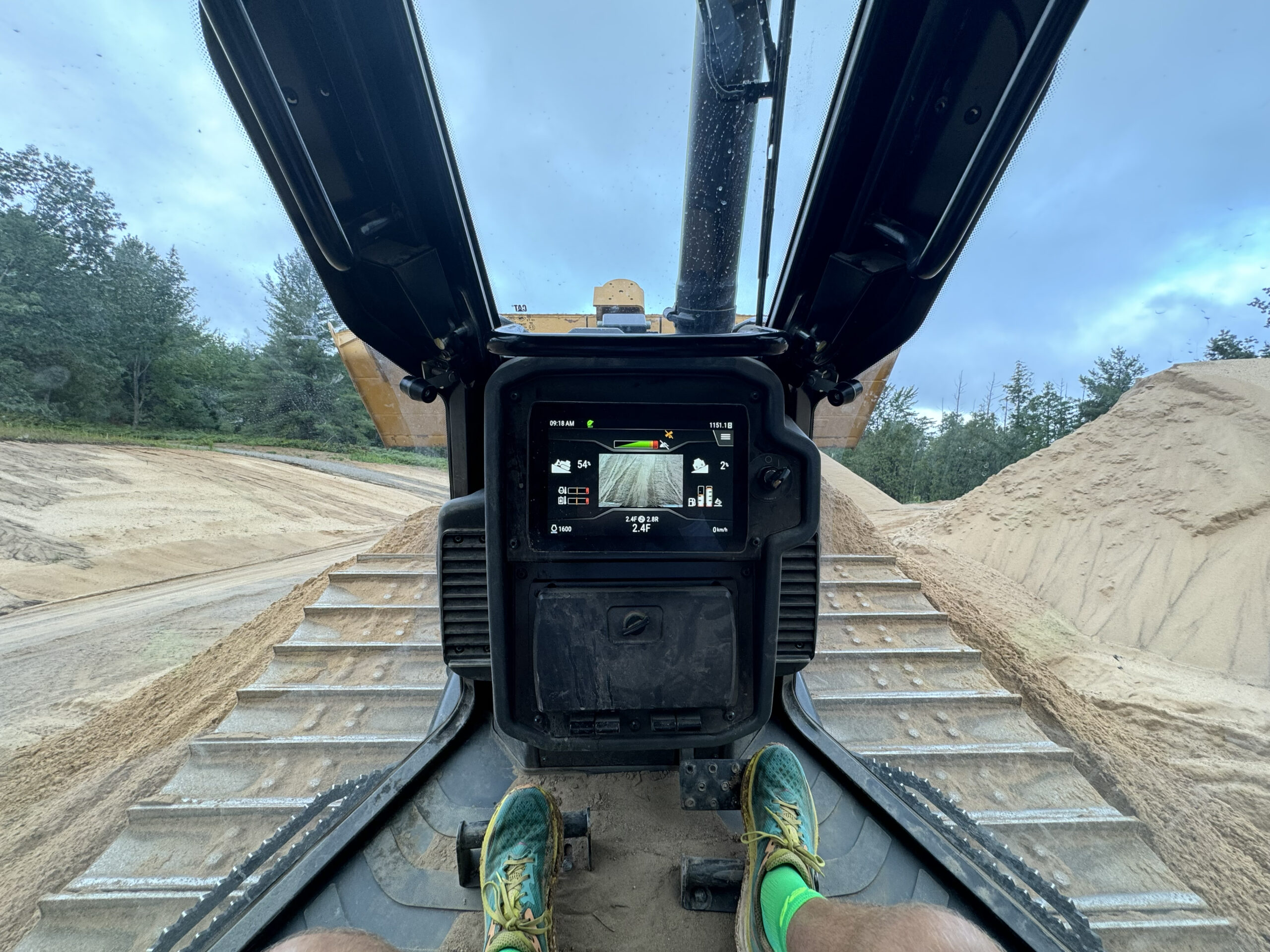
Crafting a golf course is no easy feat, and it all begins with the land.
Therefore, obtaining a comprehensive birds-eye view of the terrain, slope, land cover, and other geographic variables is essential when designing and planning your course. This information is vital in determining the best layout that incorporates natural features into the course design, ultimately emphasizing the course’s beauty and playability.
At the core of our services is our mastery of digital golf course mapping.
Digital topographic mapping is an essential tool for designing playable golf holes that take advantage of the natural features of the site.
We offer precise, comprehensive, and visually appealing maps utilizing advanced geographic information systems (GIS).
Our custom mapping solutions are tailored to your golf course’s unique requirements, site characteristics, and specifications, enabling architects to achieve their vision efficiently and effectively. By partnering with us, you can be confident that you will receive top-quality maps that help you create exceptional golf course designs for your clients.

There is a lot more involved in golf course design than meets the eye.
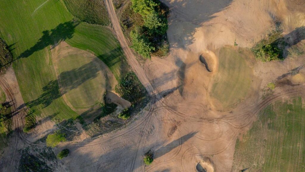
Ground Contours
With topographic mapping, we can accurately identify a golf course’s optimal contours and natural features, allowing designers to make the best use of the terrain as it currently exists. This mapping uses accurate LiDAR data and enables golf course architects to create designs that enhance this experience, providing golfers with a challenging yet enjoyable round that incorporates the beauty and unique features of the landscape.
Drainage
Strategic placement of tees, landing areas, and greens on elevated terrain ensures unobstructed natural drainage patterns in non-play areas, minimizing seasonal wet areas and reducing the need for costly drainage redirection and extensive earthwork to enhance course features’ visibility. Careful pre-planning of natural water runoffs and puddling during the initial design phase is crucial to avoid future re-design costs and keep the course playable.
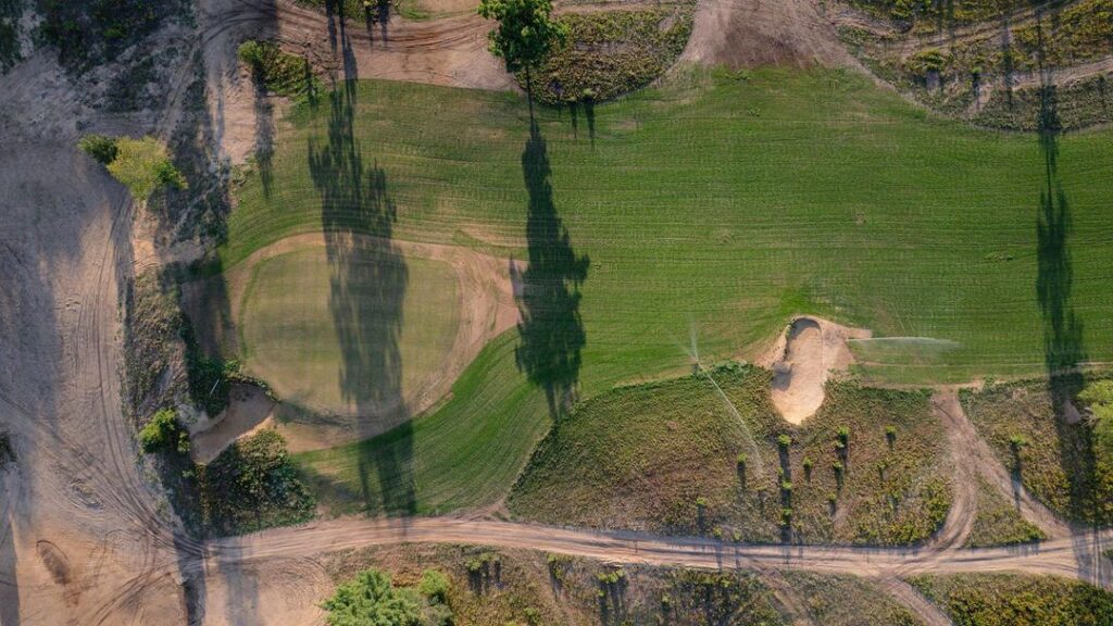
Course Routing
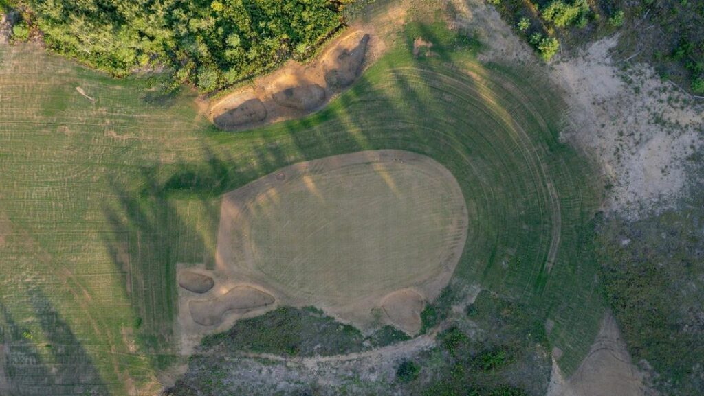
Digital mapping can be used to create multiple routing options for the golf course. The designer can test various routing options to find the most efficient one that provides the best golfing experience. GIS can also help to optimize the routing to minimize the impact on the environment and other sensitive areas.
Land Cover & Soil Composition
With the aid of our digital topographic mapping services, architects can confidently spend quality time analyzing site-specific land cover that contributes to the strategic design of each golf hole. The smart incorporation of natural features in a course design reduces unnecessary earth moving, resulting in a more sustainable and environmentally friendly final product.
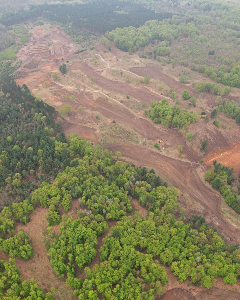
From the front 9 to the back 9, we can help you better understand the terrain while designing or renovating your course.
Chris will be graduating with his Master’s in Geospatial Intelligence (GEOINT) from Johns Hopkins University.
- Published Cartographer | 2023 Esri Map Book, Volume 38. “Denali Wolf Pack Population Change.”
- Finalizing Thesis with the National Geospatial-Intelligence Agency (NGA).

The Process
Identify the scope of your project needs
No two courses are alike and building a course is no easy feat. The planning stage is where we can make sure your project is on the right track before breaking ground.
Understand your key needs
This is where we can work together to look at the most important data points you need to have a successful and smooth course design process based on your unique requirements and challenges.
Investing in our services
You will have access to state-of-the-art technology and expertise in the field of geospatial mapping. We use advanced mapping techniques to create highly detailed topographic maps, which can help golf course designers optimize course layouts and identify potential challenges before they arise.

Hi, I’m Chris Johnson!
A freelance Geographical Information System (GIS) professional who’s passionate about all things golf.
My specialty is providing custom mapping solutions for golf courses and golf course architects, from mapping out the original model to helping implement the plan in the field.
Prior to completing my Master’s in Geospatial Intelligence from Johns Hopkins, I have served as an Infantry Officer in the Army and have experience in project management and solutions delivery in a variety of industries. One thing I have learned over my career is that no two projects are the same, but success is always dependent on clear communication and making use of all of the resources at your disposal.
As a self-proclaimed “map nerd,” I’m passionate about finding the best ways to convey geospatial information in the clearest and most effective way. Whether you’re looking to create an exciting new course or improve the playability of an existing one, I’m here to help. Let’s work together to create a custom mapping solution that meets your unique needs and delivers the results you’re looking for.
